Oakland Trails is sponsored by the
Oakland Parks & Recreation Foundation
501c3 Tax ID # 94-2751052
Interactive East Bay Trail Map
 .
.
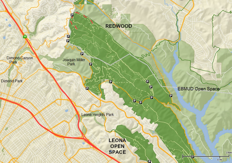
More than five hundred miles of trails span the entire East Bay. The vast trail system weaves through city parks, regional parks, EBMUD watershed land, and State parks. So while yes, it is possible to follow a trail from Oakland to Moraga, you’d need three different trail maps from three jurisdictions.
TRAILHEAD seeks to create an interactive trail map that would combine multiple jurisdictions on one map. It would be parked on-line, and would allow users to select any portion to download or print.
Do you have the skills or connections to help make this dream a reality? If you’d like to get involved, please contact Stan Dodson here.